
United States Geospatial Analytics Market Report by Component (Solution, Services), Type (Surface and Field Analytics, Network and Location Analytics, Geovisualization, and Others), Technology (Remote Sensing, GIS, GPS, and Others), Enterprise Size (Large Enterprises, Small and Medium-sized Enterprises), Deployment Mode (On-premises, Cloud-based), Vertical (Automotive, Energy and Utilities, Government, Defense and Intelligence, Smart Cities, Insurance, Natural Resources, and Others), and Region 2025-2033
Market Overview:
United States geospatial analytics market size reached USD 25.2 Billion in 2024. Looking forward, IMARC Group expects the market to reach USD 60.1 Billion by 2033, exhibiting a growth rate (CAGR) of 10% during 2025-2033. The growing need for facilitating data-driven decisions, along with the rising focus of government bodies on improving situational awareness and monitoring of troops and enemy movements, is primarily propelling the market growth across the country.
|
Report Attribute
|
Key Statistics
|
|---|---|
|
Base Year
|
2024 |
|
Forecast Years
|
2025-2033
|
|
Historical Years
|
2019-2024
|
| Market Size in 2024 | USD 25.2 Billion |
| Market Forecast in 2033 | USD 60.1 Billion |
| Market Growth Rate (2025-2033) | 10% |
Geospatial analytics usually refers to the examination of geological information derived from maps, graphs, statistics, and cartograms to depict features or objects present on the Earth's surface. This analytical approach incorporates a variety of tools, such as the global positioning system (GPS), 3D scanners, geotagging, location sensors, social media platforms, mobile devices, satellite imaging solutions, etc., for the analysis of surfaces, network structures, and geovisualization. By integrating timing and location into real-time geospatial data, it offers precise insights via visual patterns and images. Its utilization extends to geographic information systems (GIS) for tasks, like weather modeling, population forecasting, monitoring trends in retail sales, etc. Consequently, geospatial analytics finds wide-ranging applications in disaster management, urban planning and development, as well as natural resource exploration.
United States Geospatial Analytics Market Trends:
The United States geospatial analytics market is experiencing significant growth driven by the convergence of advanced technologies and the escalating demand for precise location-based insights across diverse industries. Geospatial analytics in the country involves the meticulous examination of geological data through tools, which is acting as another significant growth-inducing factor. Moreover, this market plays a pivotal role in surface analysis, network assessment, and geovisualization, enhancing decision-making processes across sectors. Besides this, real-time geospatial data, enriched with timing and location information, provides accurate insights through visual patterns and images. Furthermore, the applications span various domains, including disaster management, urban planning and development, and natural resource exploration. In the U.S., geospatial analytics is integral to geographic information systems (GIS), contributing to weather modeling, population forecasting, and the monitoring of retail sales trends. The market's growth is further fueled by its ability to facilitate data-driven decision-making in areas, such as logistics, agriculture, and environmental monitoring. As the demand for location intelligence continues to rise, the United States geospatial analytics market is poised for sustained expansion over the forecasted period.
United States Geospatial Analytics Market Segmentation:
IMARC Group provides an analysis of the key trends in each segment of the market, along with forecasts at the country level for 2025-2033. Our report has categorized the market based on component, type, technology, enterprise size, deployment mode, and vertical.
Component Insights:
- Solution
- Services
The report has provided a detailed breakup and analysis of the market based on the component. This includes solution and services.
Type Insights:
- Surface and Field Analytics
- Network and Location Analytics
- Geovisualization
- Others
A detailed breakup and analysis of the market based on the type have also been provided in the report. This includes surface and field analytics, network and location analytics, geovisualization, and others.
Technology Insights:
- Remote Sensing
- GIS
- GPS
- Others
The report has provided a detailed breakup and analysis of the market based on the technology. This includes remote sensing, GIS, GPS, and others.
Enterprise Size Insights:
- Large Enterprises
- Small and Medium-sized Enterprises
A detailed breakup and analysis of the market based on the enterprise size have also been provided in the report. This includes large enterprises and small and medium-sized enterprises.
Deployment Mode Insights:
- On-premises
- Cloud-based
The report has provided a detailed breakup and analysis of the market based on the deployment mode. This includes on-premises and cloud-based.
Vertical Insights:
- Automotive
- Energy and Utilities
- Government
- Defense and Intelligence
- Smart Cities
- Insurance
- Natural Resources
- Others
A detailed breakup and analysis of the market based on the vertical have also been provided in the report. This includes automotive, energy and utilities, government, defense and intelligence, smart cities, insurance, natural resources, and others.
Regional Insights:
- Northeast
- Midwest
- South
- West
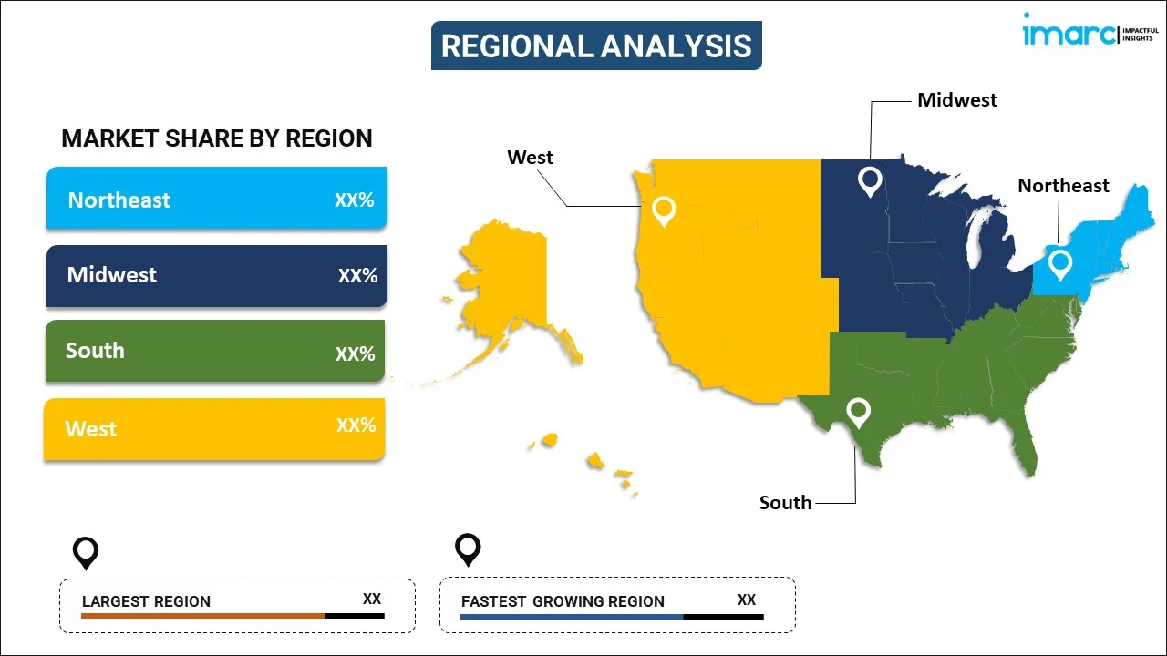
The report has also provided a comprehensive analysis of all the major regional markets, which include Northeast, Midwest, South, and West.
Competitive Landscape:
The market research report has also provided a comprehensive analysis of the competitive landscape in the market. Competitive analysis such as market structure, key player positioning, top winning strategies, competitive dashboard, and company evaluation quadrant has been covered in the report. Also, detailed profiles of all major companies have been provided.
United States Geospatial Analytics Market Report Coverage:
| Report Features | Details |
|---|---|
| Base Year of the Analysis | 2024 |
| Historical Period | 2019-2024 |
| Forecast Period | 2025-2033 |
| Units | Billion USD |
| Scope of the Report | Exploration of Historical Trends and Market Outlook, Industry Catalysts and Challenges, Segment-Wise Historical and Future Market Assessment:
|
| Components Covered | Solution, Services |
| Types Covered | Surface and Field Analytics, Network and Location Analytics, Geovisualization, Others |
| Technologies Covered | Remote Sensing, GIS, GPS, Others |
| Enterprise Sizes Covered | Large Enterprises, Small and Medium-sized Enterprises |
| Deployment Modes Covered | On-premises, Cloud-based |
| Verticals Covered | Automotive, Energy and Utilities, Government, Defense and Intelligence, Smart Cities, Insurance, Natural Resources, Others |
| Regions Covered | Northeast, Midwest, South, West |
| Customization Scope | 10% Free Customization |
| Post-Sale Analyst Support | 10-12 Weeks |
| Delivery Format | PDF and Excel through Email (We can also provide the editable version of the report in PPT/Word format on special request) |
Key Questions Answered in This Report:
- How has the United States geospatial analytics market performed so far and how will it perform in the coming years?
- What has been the impact of COVID-19 on the United States geospatial analytics market?
- What is the breakup of the United States geospatial analytics market on the basis of component?
- What is the breakup of the United States geospatial analytics market on the basis of type?
- What is the breakup of the United States geospatial analytics market on the basis of technology?
- What is the breakup of the United States geospatial analytics market on the basis of enterprise size?
- What is the breakup of the United States geospatial analytics market on the basis of deployment mode?
- What is the breakup of the United States geospatial analytics market on the basis of vertical?
- What are the various stages in the value chain of the United States geospatial analytics market?
- What are the key driving factors and challenges in the United States geospatial analytics?
- What is the structure of the United States geospatial analytics market and who are the key players?
- What is the degree of competition in the United States geospatial analytics market?
Key Benefits for Stakeholders:
- IMARC’s industry report offers a comprehensive quantitative analysis of various market segments, historical and current market trends, market forecasts, and dynamics of the United States geospatial analytics market from 2019-2033.
- The research report provides the latest information on the market drivers, challenges, and opportunities in the United States geospatial analytics market.
- Porter's five forces analysis assist stakeholders in assessing the impact of new entrants, competitive rivalry, supplier power, buyer power, and the threat of substitution. It helps stakeholders to analyze the level of competition within the United States geospatial analytics industry and its attractiveness.
- Competitive landscape allows stakeholders to understand their competitive environment and provides an insight into the current positions of key players in the market.
Need more help?
- Speak to our experienced analysts for insights on the current market scenarios.
- Include additional segments and countries to customize the report as per your requirement.
- Gain an unparalleled competitive advantage in your domain by understanding how to utilize the report and positively impacting your operations and revenue.
- For further assistance, please connect with our analysts.
 Request Customization
 Speak to an Analyst
 Request Brochure
 Inquire Before Buying




.webp)




.webp)


