
Geospatial Analytics Market Report by Component (Solution, Services), Type (Surface and Field Analytics, Network and Location Analytics, Geovisualization, and Others), Technology (Remote Sensing, GIS, GPS, and Others), Enterprise Size (Large Enterprises, Small and Medium-sized Enterprises), Deployment Mode (On-premises, Cloud-based), Vertical (Automotive, Energy and Utilities, Government, Defense and Intelligence, Smart Cities, Insurance, Natural Resources, and Others), and Region 2026-2034
Global Geospatial Analytics Market:
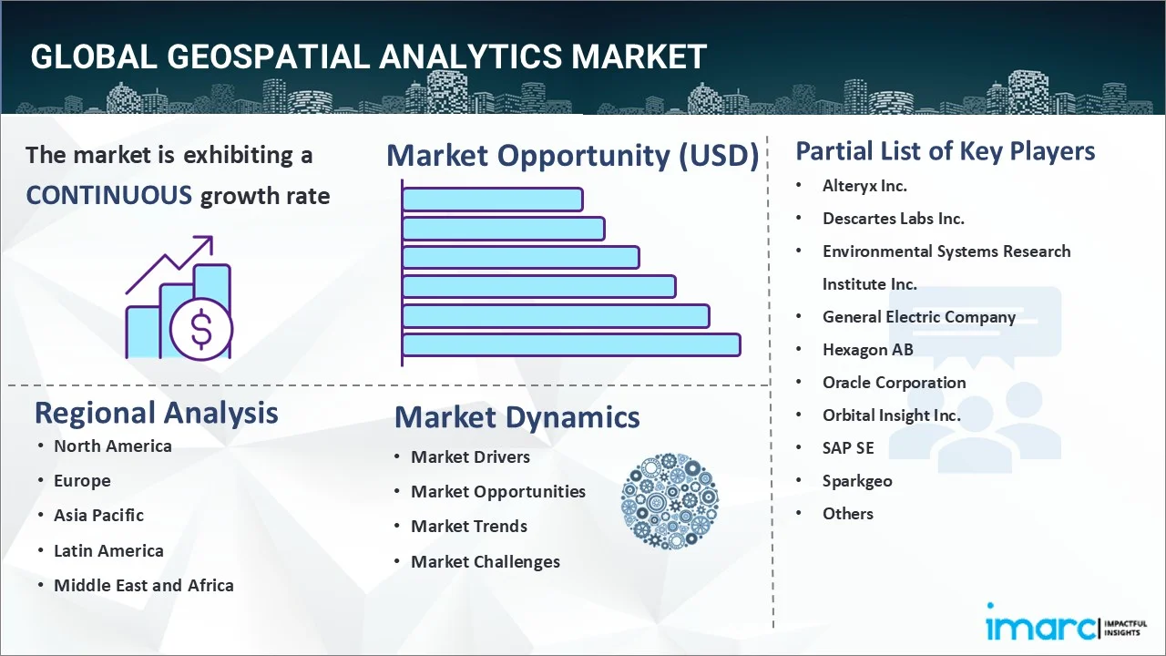
The global geospatial analytics market size reached USD 127.8 Billion in 2025. Looking forward, IMARC Group expects the market to reach USD 342.6 Billion by 2034, exhibiting a growth rate (CAGR) of 11.23% during 2026-2034. The increasing need for disaster management and urban planning is one of the key factors bolstering the market.
|
Report Attribute
|
Key Statistics
|
|---|---|
|
Base Year
|
2025
|
|
Forecast Years
|
2026-2034
|
|
Historical Years
|
2020-2025
|
|
Market Size in 2025
|
USD 127.8 Billion |
|
Market Forecast in 2034
|
USD 342.6 Billion |
| Market Growth Rate (2026-2034) | 11.23% |
Geospatial Analytics Market Analysis:
- Major Market Drivers: The development of smart cities is primarily propelling the market. Additionally, the rising need for improved situational awareness and satellite monitoring of troops is also acting as another significant growth-inducing factor
- Key Market Trends: The growing integration of connected devices with artificial intelligence (AI) and machine learning (ML) solutions is positively influencing the market.
- Competitive Landscape: Some of the prominent companies in the market include Alteryx Inc., Descartes Labs Inc., Environmental Systems Research Institute Inc., General Electric Company, Hexagon AB, Oracle Corporation, Orbital Insight Inc., SAP SE, Sparkgeo, TomTom N.V., Trimble Inc., and Ubimo Ltd. (Quotient Technology), among many others.
- Geographical Trends: North America exhibits a clear dominance in the market, owing to continuous improvements in the 5G infrastructure. Apart from this, the launch of favorable government policies is further contributing to the regional market.
- Challenges and Opportunities: One of the limitations hindering the market is the complexity of data acquisition and processing. However, the introduction of cloud computing to streamline data management and analysis is anticipated to fuel the market over the forecasted period.
To get more information on this market Request Sample
Geospatial Analytics Market Trends:
Rising Integration of AI
The growing demand for AI algorithms that can automatically identify patterns and anomalies in vast amounts of spatial data is augmenting the market. Moreover, they optimize logistics routes, predict urban growth, improve disaster response, etc., which is stimulating the market. Besides this, these algorithms further provide actionable insights faster than traditional methods. For example, in July 2024, CARTO, the cloud-native spatial analysis platform, announced the launch of CARTO AI Agents, which combine geospatial technology with AI.
Growing Need for Real-time Data Analysis
The proliferation of IoT devices and advancements in cloud computing are bolstering the market. This trend allows for immediate processing and visualization of spatial data, which is critical for applications like emergency response, traffic management, and smart city planning. For instance, Esri's ArcGIS Velocity processes real-time data streams from sensors, social media, and other sources, enabling dynamic mapping and analysis.
Introduction of Cloud-based Solutions
Cloud-based geospatial analytics solutions are gaining extensive traction due to their cost-effectiveness, scalability, and accessibility. These platforms enable users to manage, store, and analyze large datasets without the need for extensive local infrastructure. Products like Esri's ArcGIS Online and AWS's Amazon Location Service offer robust tools for geospatial data handling, thereby allowing organizations to collaborate and share insights seamlessly.
Global Geospatial Analytics Industry Segmentation:
IMARC Group provides an analysis of the key trends in each segment of the market, along with the geospatial analytics market forecast at the global, regional, and country levels for 2026-2034. Our report has categorized the market based on the component, type, technology, enterprise size, deployment mode, and vertical.
Breakup by Component:
To get detailed segment analysis of this market Request Sample
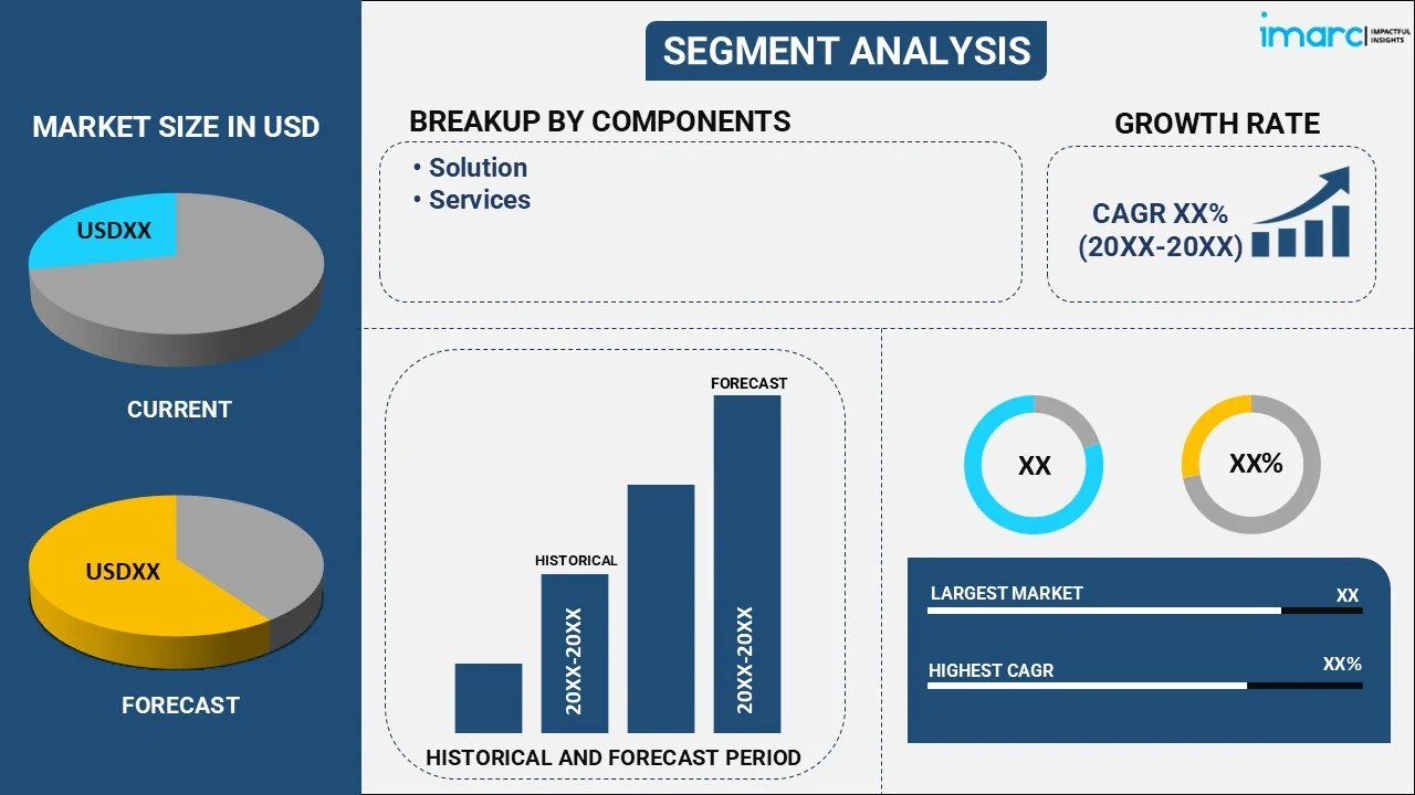
- Solution
- Services
Currently, solution exhibits a clear dominance in the market
The report has provided a detailed breakup and analysis of the market based on the component. This includes solution and services. According to the report, the solution represented the largest market segmentation.
The geospatial analytics solution offers robust tools for mapping. Consequently, it makes them indispensable for urban planning, environmental monitoring, disaster management, etc. For instance, the introduction of advanced geospatial software platforms like Esri's ArcGIS has revolutionized how organizations collect, visualize, and analyze spatial data.
Breakup by Type:
- Surface and Field Analytics
- Network and Location Analytics
- Geovisualization
- Others
Network and location analytics currently hold the majority of the total market share
The report has provided a detailed breakup and analysis of the market based on the type. This includes surface and field analytics, network and location analytics, geovisualization, and others. According to the report, network and location analytics represented the largest market segmentation.
Network and location analytics have seen significant advancements through innovative product launches that enhance their capabilities and applications. For instance, Esri's recent release of ArcGIS Indoors revolutionizes indoor mapping and analytics, allowing organizations to visualize, manage, and optimize indoor spaces, such as office buildings and airports, by integrating location data with floor plans.
Breakup by Technology:
- Remote Sensing
- GIS
- GPS
- Others
GPS accounts for the largest market share
The report has provided a detailed breakup and analysis of the market based on the technology. This includes remote sensing, GIS, GPS, and others. According to the report, GPS represented the largest market segmentation.
The integration of GPS technology in geospatial analytics enables professionals in fields, such as agriculture, construction, and environmental management to conduct precise field surveys and mapping tasks easily. For example, Trimble's introduction of the Trimble Catalyst, a subscription-based GPS receiver service, offers centimeter-level accuracy for geospatial data collection on mobile devices.
Breakup by Enterprise Size:
- Large Enterprises
- Small and Medium-sized Enterprises
Large enterprises hold the majority of the global market share
The report has provided a detailed breakup and analysis of the market based on the enterprise size. This includes large enterprises and small and medium-sized enterprises. According to the report, large enterprises represented the largest market segmentation.
The rising need among large enterprises for handling vast amounts of spatial data and providing deep insights is propelling the segment's growth. For example, IBM's launch of the IBM Environmental Intelligence Suite offers large enterprises a comprehensive set of AI-driven geospatial analytics tools.
Breakup by Deployment Mode:
- On-premises
- Cloud-based
Cloud-based currently exhibits a clear dominance in the market
The report has provided a detailed breakup and analysis of the market based on the deployment mode. This includes on-premises and cloud-based. According to the report, cloud-based represented the largest market segmentation.
The cloud-based platform facilitates real-time data access. Moreover, it empowers businesses and governments to harness the power of geospatial analytics with enhanced flexibility, reduced costs, the ability to scale operations dynamically, etc. For instance, the release of Google Cloud's BigQuery GIS provides a fully managed, serverless data warehouse solution that allows users to perform large-scale geospatial analytics seamlessly.
Breakup by Vertical:
- Automotive
- Energy and Utilities
- Government
- Defense and Intelligence
- Smart Cities
- Insurance
- Natural Resources
- Others
The defense and intelligence sector accounts for the majority of the total market share
The report has provided a detailed breakup and analysis of the market based on the vertical. This includes automotive, energy and utilities, government, defense and intelligence, smart cities, insurance, natural resources, and others. According to the report, the defense and intelligence sector represented the largest market segmentation.
The state-of-the-art geospatial analytics tools are critical for the defense and intelligence sector, enabling enhanced surveillance, improved strategic planning, and superior mission execution. One notable product is Palantir's Foundry for Defense, which integrates geospatial data with advanced analytics and AI to provide real-time insights for mission planning, threat assessment, and operational coordination. This is expanding the geospatial analytics market share across the segmentation.
Breakup by Region:
To get more information on the regional analysis of this market Request Sample
- North America
- United States
- Canada
- Asia-Pacific
- China
- Japan
- India
- South Korea
- Australia
- Indonesia
- Others
- Europe
- Germany
- France
- United Kingdom
- Italy
- Spain
- Russia
- Others
- Latin America
- Brazil
- Mexico
- Others
- Middle East and Africa
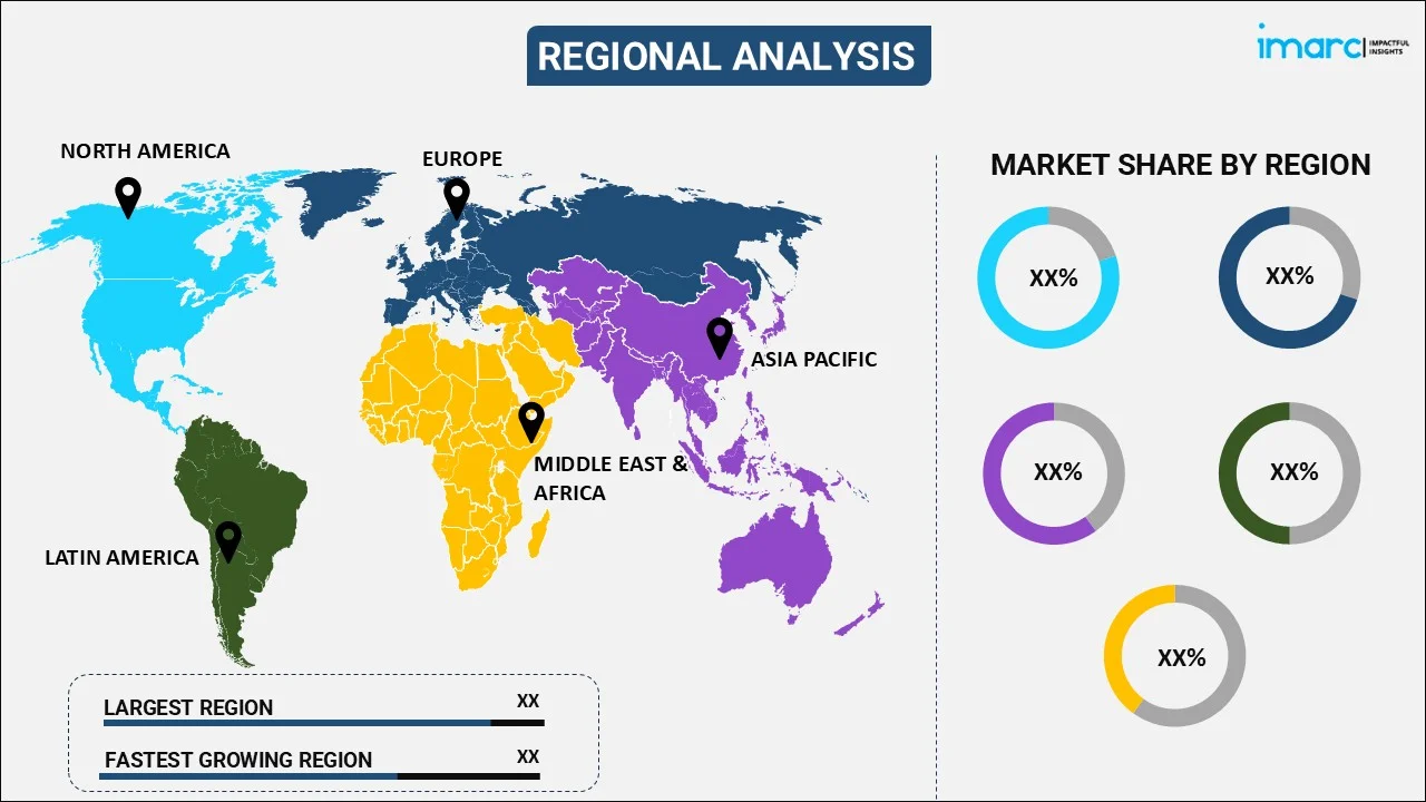
North America exhibits a clear dominance in the market
The market research report has also provided a comprehensive analysis of all the major regional markets, which include North America (the United States and Canada); Asia Pacific (China, Japan, India, South Korea, Australia, Indonesia, and others); Europe (Germany, France, the United Kingdom, Italy, Spain, Russia, and others); Latin America (Brazil, Mexico, and others); and the Middle East and Africa. According to the report, North America accounted for the largest market share.
The increasing adoption of spatial data across various industries is a significant growth-inducing factor in North America. Additionally, Canadian firms, including Ecopia, are using AI to extract detailed geospatial information from satellite imagery. According to the IMARC, the United States geospatial analytics market is projected to exhibit a growth rate (CAGR) of approximately 10.14% during 2024-2032. This, in turn, will continue to fuel the market over the forecasted period.
Competitive Landscape:
The market research report has provided a comprehensive analysis of the competitive landscape. Detailed profiles of all major market companies have also been provided. Some of the key players in the market include:
- Alteryx Inc.
- Descartes Labs Inc.
- Environmental Systems Research Institute Inc.
- General Electric Company
- Hexagon AB
- Oracle Corporation
- Orbital Insight Inc.
- SAP SE
- Sparkgeo
- TomTom N.V.
- Trimble Inc.
- Ubimo Ltd. (Quotient Technology)
(Please note that this is only a partial list of the key players, and the complete list is provided in the report.)
Geospatial Analytics Market Recent Developments:
- July 2024: CARTO, the cloud-native spatial analysis platform, announced the launch of CARTO AI Agents, which combine geospatial technology with AI.
- July 2024: AiDash unveiled the AI Center of Excellence in Bengaluru, India, to focus on remote sensing and geospatial analytics.
- July 2024: GEOACE launched a campaign for cloud-native data automation software specially created for geospatial workflows.
Geospatial Analytics Market Report Scope:
| Report Features | Details |
|---|---|
| Base Year of the Analysis | 2025 |
| Historical Period | 2020-2025 |
| Forecast Period | 2026-2034 |
| Units | Billion USD |
| Scope of the Report | Exploration of Historical Trends and Market Outlook, Industry Catalysts and Challenges, Segment-Wise Historical and Predictive Market Assessment:
|
| Components Covered | Solution, Services |
| Types Covered | Surface and Field Analytics, Network and Location Analytics, Geovisualization, Others |
| Technologies Covered | Remote Sensing, GIS, GPS, Others |
| Enterprise Sizes Covered | Large Enterprises, Small and Medium-sized Enterprises |
| Deployment Modes Covered | On-premises, Cloud-based |
| Verticals Covered | Automotive, Energy and Utilities, Government, Defense and Intelligence, Smart Cities, Insurance, Natural Resources, Others |
| Regions Covered | Asia Pacific, Europe, North America, Latin America, Middle East and Africa |
| Countries Covered | United States, Canada, Germany, France, United Kingdom, Italy, Spain, Russia, China, Japan, India, South Korea, Australia, Indonesia, Brazil, Mexico |
| Companies Covered | Alteryx Inc., Descartes Labs Inc, Environmental Systems Research Institute Inc., General Electric Company, Hexagon AB, Oracle Corporation, Orbital Insight Inc., SAP SE, Sparkgeo, TomTom N.V., Trimble Inc., Ubimo Ltd. (Quotient Technology), etc. |
| Customization Scope | 10% Free Customization |
| Post-Sale Analyst Support | 10-12 Weeks |
| Delivery Format | PDF and Excel through Email (We can also provide the editable version of the report in PPT/Word format on special request) |
Key Benefits for Stakeholders:
- IMARC's industry report offers a comprehensive quantitative analysis of various market segments, historical and current market trends, market forecasts, and dynamics of the geospatial analytics market from 2020-2034.
- The research report provides the latest information on the market drivers, challenges, and opportunities in the global geospatial analytics market.
- The study maps the leading, as well as the fastest-growing, regional markets. It further enables stakeholders to identify the key country-level markets within each region.
- Porter's five forces analysis assists stakeholders in assessing the impact of new entrants, competitive rivalry, supplier power, buyer power, and the threat of substitution. It helps stakeholders to analyze the level of competition within the geospatial analytics industry and its attractiveness.
- The competitive landscape allows stakeholders to understand their competitive environment and provides insight into the current positions of key players in the market.
Frequently Asked Questions About the Geospatial Analytics Market Report
The global geospatial analytics market was valued at USD 127.8 Billion in 2025.
We expect the global geospatial analytics market to exhibit a CAGR of 11.23% during 2026-2034.
The sudden outbreak of the COVID-19 pandemic has led to the increasing demand for geospatial analytics solutions for tracking and monitoring the disease-affected areas as a precautionary measure to combat the spread of coronavirus infection across several nations.
The rising instances of terrorist attacks, along with the growing adoption of geospatial analytics across the defense and military industry for enhanced situational awareness and satellite monitoring of troops and enemy movements, are primarily driving the global geospatial analytics market.
Based on the component, the global geospatial analytics market has been divided into solution and services. Currently, solution exhibits a clear dominance in the market.
Based on the type, the global geospatial analytics market can be bifurcated into surface and field analytics, network and location analytics, geovisualization, and others. Among these, network and location analytics currently hold the majority of the total market share.
Based on the technology, the global geospatial analytics market has been segregated into remote sensing, GIS, GPS, and others. Currently, GPS accounts for the largest market share.
Based on the enterprise size, the global geospatial analytics market can be categorized into large enterprises and small and medium-sized enterprises. Among these, large enterprises hold the majority of the global market share.
Based on the deployment mode, the global geospatial analytics market has been segmented into on-premises and cloud-based, where cloud-based currently exhibits a clear dominance in the market.
Based on the vertical, the global geospatial analytics market can be bifurcated into automotive, energy and utilities, government, defense and intelligence, smart cities, insurance, natural resources, and others. Currently, the defense and intelligence sector accounts for the majority of the total market share.
On a regional level, the market has been classified into North America, Asia-Pacific, Europe, Latin America, and Middle East and Africa, where North America currently dominates the global market.
Some of the major players in the global geospatial analytics market include Alteryx Inc., Descartes Labs Inc, Environmental Systems Research Institute Inc., General Electric Company, Hexagon AB, Oracle Corporation, Orbital Insight Inc., SAP SE, Sparkgeo, TomTom N.V., Trimble Inc., and Ubimo Ltd. (Quotient Technology).
Need more help?
- Speak to our experienced analysts for insights on the current market scenarios.
- Include additional segments and countries to customize the report as per your requirement.
- Gain an unparalleled competitive advantage in your domain by understanding how to utilize the report and positively impacting your operations and revenue.
- For further assistance, please connect with our analysts.
 Request Customization
 Speak to an Analyst
 Request Brochure
 Inquire Before Buying
Benefits of Customization
- Personalize this research
- Triangulate with your data
- Get data as per your format and definition
- Gain a deeper dive into a specific application, geography, customer, or competitor
- Any level of personalization
Get in Touch With Us
UNITED STATES
Phone: +1-201-971-6302
INDIA
Phone: +91-120-433-0800
UNITED KINGDOM
Phone: +44-753-714-6104
Email: [email protected]
Client Testimonials


.webp)


