
Japan Geographic Information System (GIS) Market Report by Component (Hardware, Software, Services), Function (Mapping, Surveying, Telematics and Navigation, Location-Based Services), Device (Desktop, Mobile), End Use Industry (Agriculture, Utilities, Mining, Construction, Transportation, Oil and Gas, and Others), and Region 2026-2034
Market Overview:
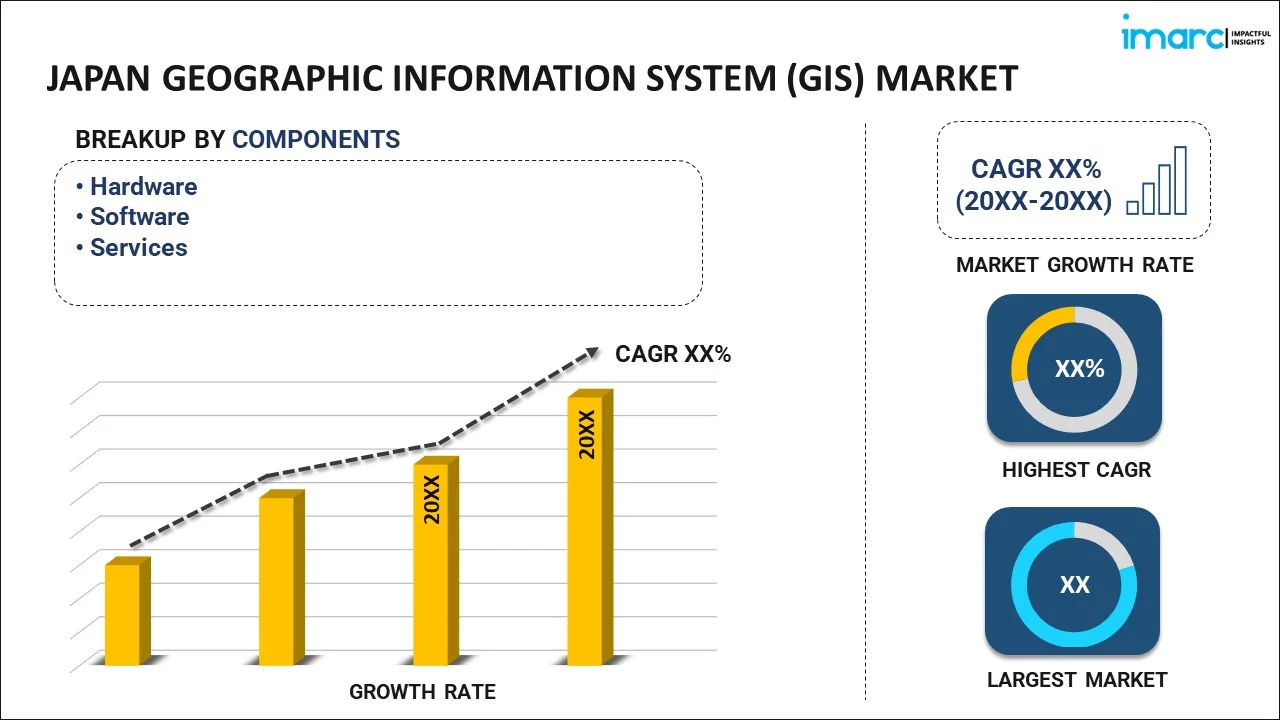
The Japan geographic information system (GIS) market size reached USD 392.3 Million in 2025. Looking forward, IMARC Group expects the market to reach USD 801.7 Million by 2034, exhibiting a growth rate (CAGR) of 8.02% during 2026-2034.
|
Report Attribute
|
Key Statistics
|
|---|---|
|
Base Year
|
2025
|
|
Forecast Years
|
2026-2034
|
|
Historical Years
|
2020-2025
|
|
Market Size in 2025
|
USD 392.3 Million |
|
Market Forecast in 2034
|
USD 801.7 Million |
| Market Growth Rate 2026-2034 | 8.02% |
Access the full market insights report Request Sample
The geographic information system (GIS) is software designed for gathering, managing, and examining data associated with the position of the earth’s surface. It integrates various data formats, including digital, photographic and cartographic data, which enables the users to understand topographical information. It is commonly utilized for navigation, environmental impact surveys, disaster management and mitigation, landslide hazard zonation, transportation planning, mapping, accident analysis, and rerouting design. Consequently, it is widely employed in the transportation, oil and gas, mining, power, real estate and defense sectors across Japan.
The escalating demand for advanced solutions across the real estate, transportation, military, and agriculture sectors represents one of the primary factors bolstering the GIS market growth in Japan. Apart from this, governing agencies in the country are investing in smart cities to gain a better insight into geospatial patterns, which is driving the market growth. Moreover, the growing popularity of automated vehicles, coupled with the increasing penetration of IoT-based devices, is positively influencing the adoption of GIS in traffic management, altering road closures, route planning, in-car navigation and predicting traffic. Furthermore, the coronavirus disease (COVID-19) outbreak is offering numerous opportunities to leading players as GIS is being used in data integration to prepare, strategize and control the spread of the pandemic across the country.
Key Market Segmentation:
IMARC Group provides an analysis of the key trends in each segment of the Japan geographic information system (GIS) market report, along with forecasts at the regional and country levels from 2026-2034. Our report has categorized the market based on component, function, device and end use industry.
Breakup by Component:
To get detailed segment analysis of this market Request Sample
- Hardware
- Software
- Services
Breakup by Function:
- Mapping
- Surveying
- Telematics and Navigation
- Location-Based Services
Breakup by Device:
- Desktop
- Mobile
Breakup by End Use Industry:
- Agriculture
- Utilities
- Mining
- Construction
- Transportation
- Oil and Gas
- Others
Breakup by Region:
.webp)
To get detailed regional analysis of this market Request Sample
- Kanto Region
- Kinki Region
- Central/ Chubu Region
- Kyushu-Okinawa Region
- Tohoku Region
- Chugoku Region
- Hokkaido Region
- Shikoku Region
Competitive Landscape:
The competitive landscape of the industry has also been examined along with the profiles of the key players.
Report Coverage:
| Report Features | Details |
|---|---|
| Base Year of the Analysis | 2025 |
| Historical Period | 2020-2025 |
| Forecast Period | 2026-2034 |
| Units | Million USD |
|
Scope of the Report
|
Exploration of Historical and Forecast Trends, Industry Catalysts and Challenges, Segment-Wise Historical and Predictive Market Assessment:
|
| Components Covered | Hardware, Software, Services |
| Functions Covered | Mapping, Surveying, Telematics and Navigation, Location-Based Services |
| Devices Covered | Desktop, Mobile |
| End Use Industries Covered | Agriculture, Utilities, Mining, Construction, Transportation, Oil and Gas, Others |
| Regions Covered | Kanto Region, Kinki Region, Central/ Chubu Region, Kyushu-Okinawa Region, Tohoku Region, Chugoku Region, Hokkaido Region, Shikoku Region |
| Customization Scope | 10% Free Customization |
| Post-Sale Analyst Support | 10-12 Weeks |
| Delivery Format | PDF and Excel through Email (We can also provide the editable version of the report in PPT/Word format on special request) |
Key Questions Answered in This Report:
- How has the Japan geographic information system (GIS) market performed so far and how will it perform in the coming years?
- What has been the impact of COVID-19 on the Japan geographic information system (GIS) market?
- What are the key regional markets?
- What is the breakup of the market based on the component?
- What is the breakup of the market based on the function?
- What is the breakup of the market based on the device?
- What is the breakup of the market based on the end use industry?
- What are the various stages in the value chain of the industry?
- What are the key driving factors and challenges in the industry?
- What is the structure of the Japan geographic information system (GIS) market and who are the key players?
- What is the degree of competition in the industry?
Need more help?
- Speak to our experienced analysts for insights on the current market scenarios.
- Include additional segments and countries to customize the report as per your requirement.
- Gain an unparalleled competitive advantage in your domain by understanding how to utilize the report and positively impacting your operations and revenue.
- For further assistance, please connect with our analysts.
 Request Customization
 Speak to an Analyst
 Request Brochure
 Inquire Before Buying
Benefits of Customization
- Personalize this research
- Triangulate with your data
- Get data as per your format and definition
- Gain a deeper dive into a specific application, geography, customer, or competitor
- Any level of personalization
Get in Touch With Us
UNITED STATES
Phone: +1-201-971-6302
INDIA
Phone: +91-120-433-0800
UNITED KINGDOM
Phone: +44-753-714-6104
Email: [email protected]
Client Testimonials


.webp)


